Welcome to Check-Distance. We provide driving distance calculator for US cities. So if you are planning a road trip adventure and need to know distance between cities of USA, you are at the right place.
To find out how far is one city from another you can use distance calculator. It will allow you to see the mileage between cities in different units and a mapped route for the particular road.
To calculate driving time you need to divide your total distance by average speed. Check-distance does that automatically, so you don't need to make any additional calculations.
To find out how much money you will need to spend on the particular road trip you can you a "Gas calculation" tool. When you search for the distance between cities, you will be offered to calculate gas money. All you need is MPG, total distance and gas prices. Check it out when you make you next distance calculation.
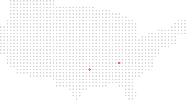
If you are driving a car then the shortest distance across USA from Atlantic ocean to Pacific is 2341 miles from Jacksonville to San Diego. Approximate time of driving will be at about 35 hours.